File:Labelled Map of Chudville and Chudlandia.png
From Soyjak Wiki, the free ensoyclopedia
Jump to navigationJump to search
No higher resolution available.
Labelled_Map_of_Chudville_and_Chudlandia.png (624 × 541 pixels, file size: 411 KB, MIME type: image/png)
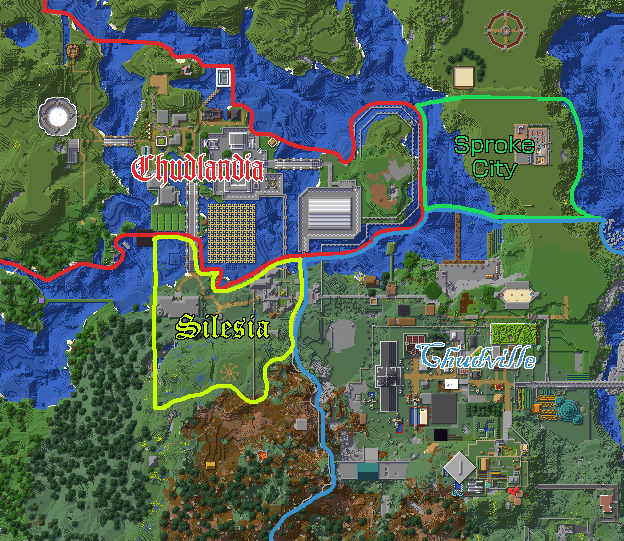
Chudville and Chudlandia map with labelled sub-regions included.
File history
Click on a date/time to view the file as it appeared at that time.
| Date/Time | Thumbnail | Dimensions | User | Comment | |
|---|---|---|---|---|---|
| current | 18:17, 24 April 2023 | | 624 × 541 (411 KB) | GemmedTheGemmy (talk | contribs) | Reverted to version as of 08:54, 14 April 2023 (EST) |
| 20:54, 19 April 2023 |  | 640 × 512 (386 KB) | GemmedTheGemmy (talk | contribs) | whoop | |
| 20:53, 19 April 2023 | 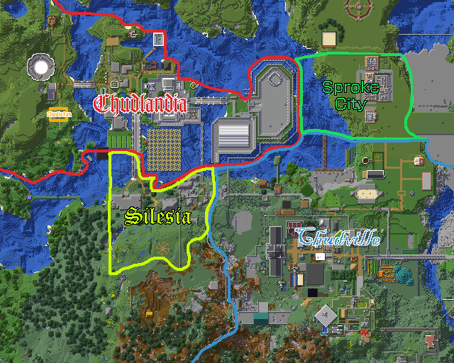 | 640 × 512 (386 KB) | GemmedTheGemmy (talk | contribs) | Add Chudistan | |
| 13:54, 14 April 2023 |  | 624 × 541 (411 KB) | GemmedTheGemmy (talk | contribs) | ||
| 23:39, 8 April 2023 | 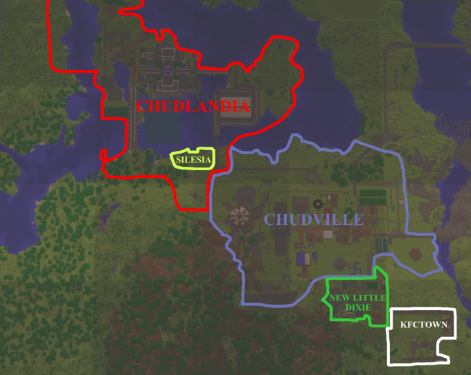 | 680 × 542 (484 KB) | ACuteAndValidCobsister (talk | contribs) |
You cannot overwrite this file.
File usage
There are no pages that use this file.